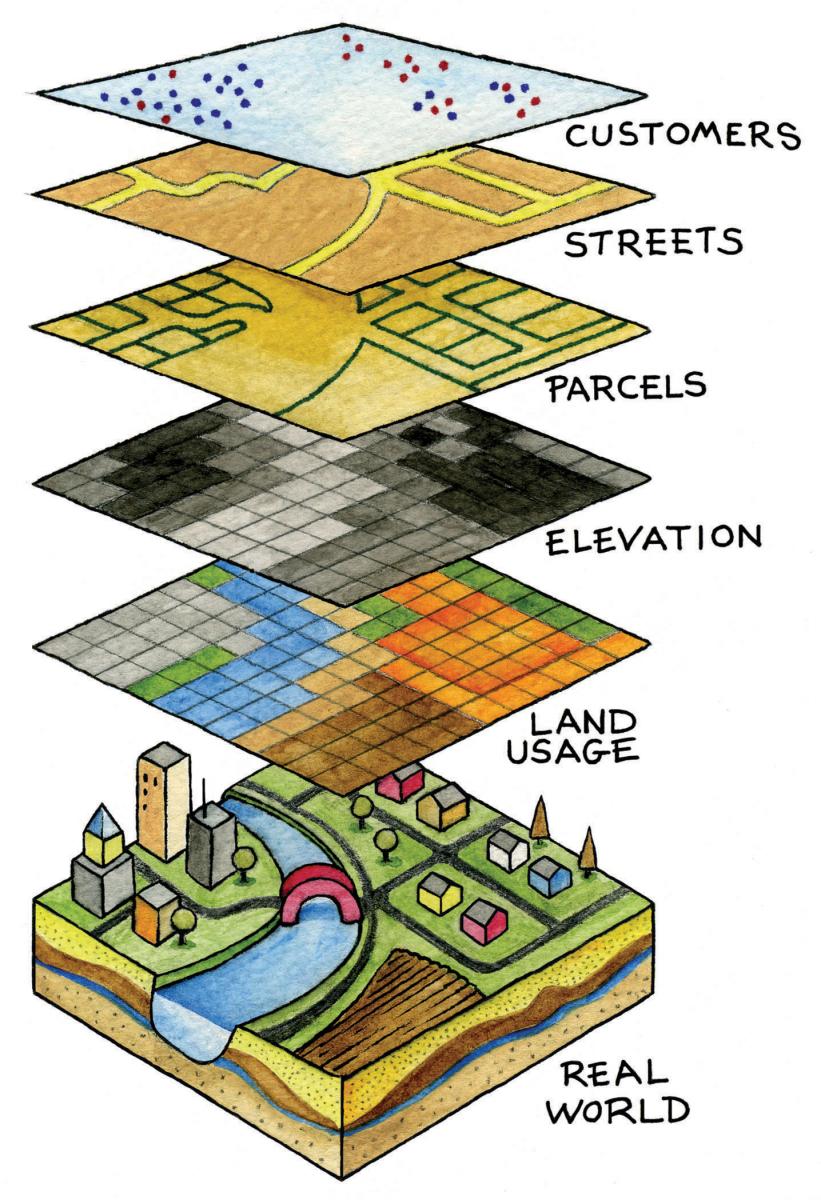
Mapping Vance County!
 Welcome to Vance County’s GIS webpage. GIS in Vance County falls under the Planning and Development Department. Here, we provide and coordinate data creation, maintenance, and support for multiple county departments. We are also able to provide hard copy map production for internal and external entities. GIS provides a timely array of quality geographic and demographic related data, services and support to the Vance County governmental infrastructure, its citizens, the private sector, and other governmental entities.
Vance County has a GIS Administrator that is dedicated to serving the geospatial needs of Vance County agencies and the community at-large. The GIS Administrator position is part of the Planning and Development Department and oversight is provided by the Planning and Development Director who assists on an as needed basis.
For data requests either contact us or submit an ONLINE REQUEST FORM via email.![]()
LINKS
![]()
Other GIS LINKS
Neighboring Counties:
State GIS Website:
